Saturday, April 30, 2016

4/30 North Alligator River

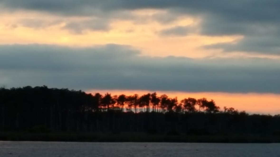
Last night, I posted before sunset, but I had to share this picture from our anchorage.  We had the anchorage all to ourselves.

Our journey today started as we crossed the Pamlico Sound.  It was much calmer than the Neuse River.  The sounds and rivers in this part of NC are relatively shallow.  Because of that, when the wind kicks up, even a little, they can get very choppy.  From there we entered the Pungo River that led to the Pungo Alligator Canal.  The Pungo Alligator Canal was the last part of the Atlantic ICW completed.  As you can see from the picture below, they must have had one goal in mind, keep it straight and get it done.  It is perfectly straight as far as the eye can see.
North Carolina is known for its pine forests.  Here along the Pungo Alligator Canal, you can smell the pines that line the canal.
That led us to the Alligator River, where the wind started to blow and it got choppy.  The hardest part is dodging crab pots.  They are everywhere!!   In NC, there is no law that says crab pots must run North South or East West.  The result is a free for all. 

We are tucked in to the Alligator River Marina just north of the Alligator River Swing Bridge.  Swing bridges are disappearing, being replaced by high span bridges.  This one does something unusual; it opens on demand for all boats.  So my polite albeit queenly request for an opening was met with, "just keep coming, I'll have it open for you."   And he did.  Thank you, bridge tender.  Last year, we were at anchor near here and were invaded by Fuzzy Bills.  Look back in this blog for story of that infestation.

Hummingbirds on the loop?   Yes, there are.  This marina has a hummingbird feeder and John took this fabulous photo.  How is that for cool?
Tomorrow, we cross the Albemarle Sound to Elizabeth City, which will head us to the Dismal Swamp.  The Albemarle is know to be choppy and, if our experience last year hasn't changed, filled with crab pots to avoid.

Good Night from
Lat 35 degrees 54.35 minutes North
Long 76 degrees 1.76 minutes West

Friday, April 29, 2016

April 29 Neuse River

This morning was cool with a foggy mist.  We ran from inside the cabin most of the day.  The Neuse River had to be crossed.  The wind was coming smartly up the river from the ocean.  The provided us with 2 foot waves, sometimes more, for the entire transit.  Transderm Scop patches are my friends.   I normally don't use them but when crossing sounds and large choppy rivers, I just feel so much better. And in the next two days we will cross Pamlico and Albemarle Sounds.

This section of the ICW is known as Goose Creek.  John researched this calm anchorage, Campbell Bay.  There is not a house in sight.  To get there, you take a left off the ICW and follow some markers left by the locals.  Dodging crab pots as you go!!!  Apparently, the thought of putting them in a straight line has not caught on here.  We are tucked in for the night.  Want to know specifically where we are?  Our lat long is 35 degrees 17.14 minutes North and 76 degrees 37.27 minutes West.

Thursday, April 28, 2016

April 28 Morehead City

Today, is our eldest daughter, Christine's birthday.  We are happy to be celebrating her today.

Yesterday, I promised more pictures. 
First is a final shot of our weathervane at home.  It was on John's house growing up.  The sky was blue with fair winds.

Bonnie, from UNCW, made a special trip to the boat on Tuesday night to make sure we had our shirts for the loop.  Bonnie joined us as we cracked open a bottle of champagne and celebrated.  The shirts make us look pretty dapper. 


After pictures on the bow Wednesday morning, we headed north.

John's colleagues took this picture of the Hydrophilic underway waiting for the Wrightsville Beach Bridge.


It was a beautiful day for cruising.  Nature just surrounds us.  We saw a Mommy dolphin with her baby and too many osprey sitting on their nests to count. The ospreys build nests right on the markers on the ICW.  Ospreys come in many varieties and we saw them all.  The bird type below in the picture, the Osprey Military Helicopters, and even a sailboat named Osprey.

Last night we anchored in Mile Hammock Bay on the edge of Camp Lejeune.  Our new Rocna anchor held beautifully in a pretty stiff wind.  I love this new anchor and have so much confidence in it.  There is an app for telling if your anchor drags and we used it but didn't move at all.  The app is called Drag Queen, so don't anyone take offense, it is just the name of a very helpful app.

We headed out this morning so we were going through Camp Lejeune.  I love the signs they post.  Red lights flash if there is any live firing.   We didn't see any live firing but there were explosives going off.  The reverberations we strong even on the boat and I know we were no where near them.  The concussive force is amazing.


Morehead City is our stop for the night at a marina.  The forecast was for heavy rains to start by now but they haven't.  Morehead is known for some good restaurants so next job is to choose which one we are going to try.

Wednesday, April 27, 2016

On the Loop

John and I casted off today on the Great Loop.  We wore the new AGLCA Hydrophilic Shirts from the Chemistry Dept. at UNCW.  We passed ICW Mile Marker 295 and will cross our wake there to complete the loop back to that in the future.
  We passed The Tides with one last wave.  At Wrightsville, two of John's colleagues were along the shore to take pictures of the Hydrophilic underway. It was a bright and sunny day, perfect for starting the Loop.  Tonight we are on the hook, on the anchor in Mile Hammock Bay. More pictures tomorrow when we have more internet access.